


Distance : 6 km
Durée (moyenne) : 02h00
Dénivelé : 176 D+
Départ : Saint-Ours
Mountain view
Mountain location
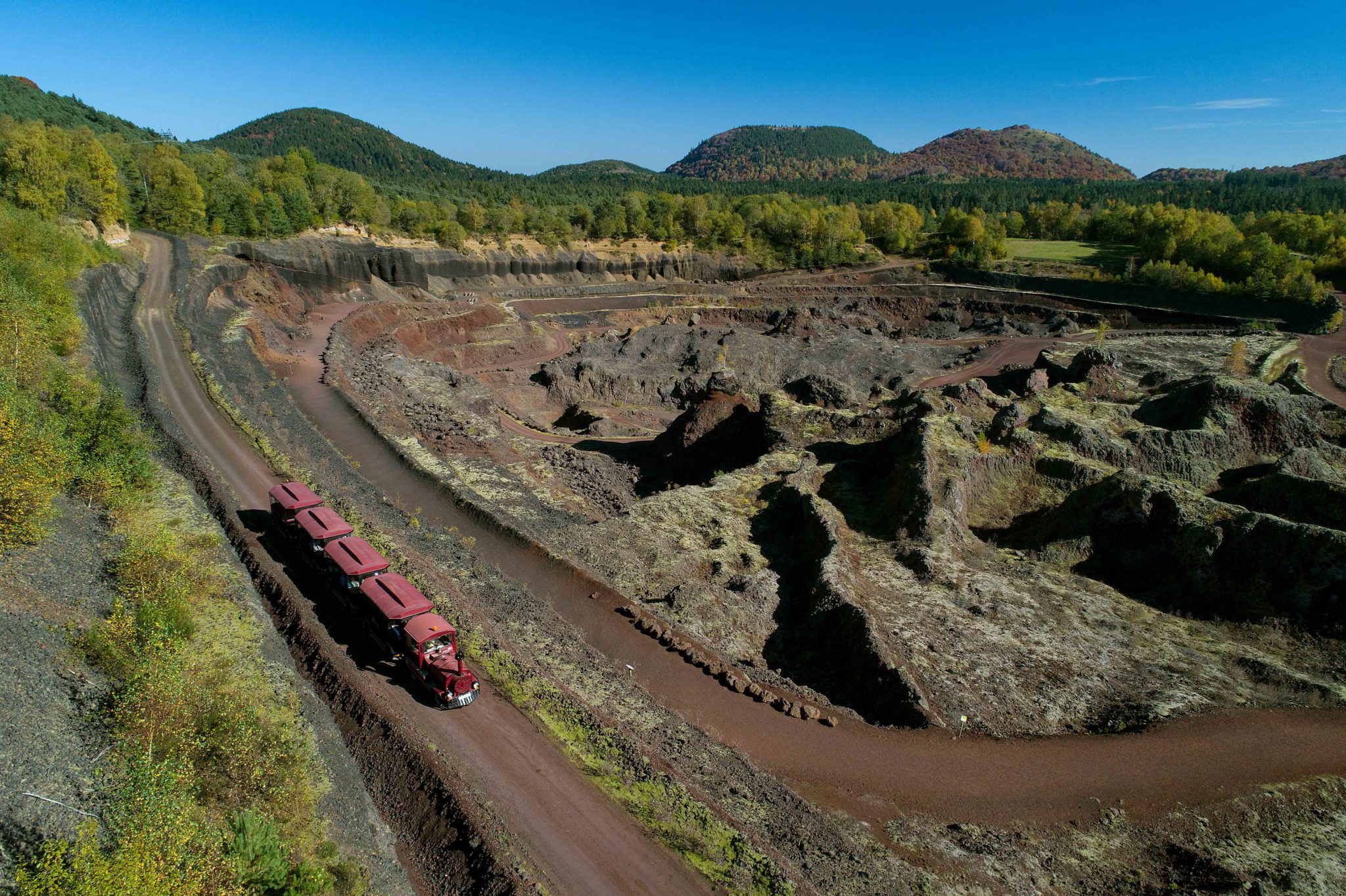
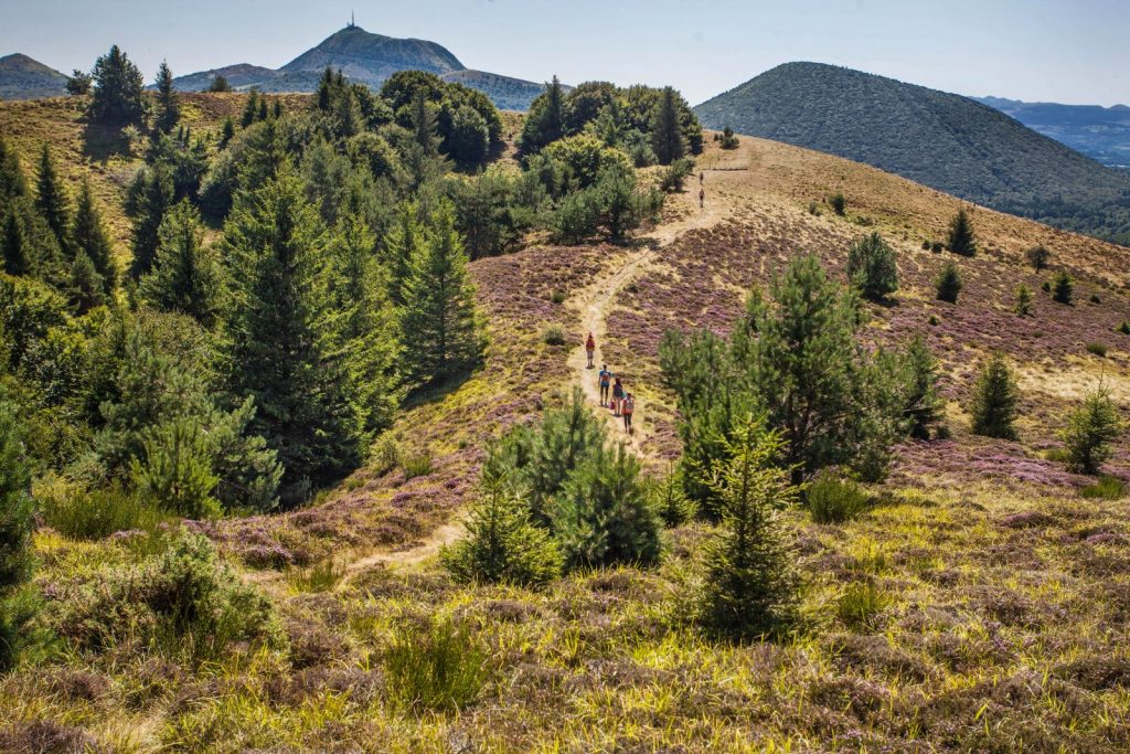
This walk, partly through undergrowth and forest, takes you up a gentle slope to the summit of the interlocking puys des Gouttes and Chopine craters, towering over the landscape at 1,181 m above sea level.
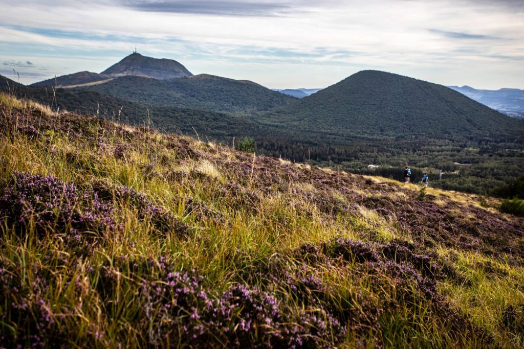
This walk, partly through undergrowth and forest, takes you up a gentle slope to the summit of the interlocking puys des Gouttes and Chopine craters, towering over the landscape at 1,181 m above sea level.
Information
Balisage
BALISE