Guidebook with maps/step-by-step
1/ Take the wide track to the left of the road and follow it gently uphill (with a view of Puy de Louchadiere on the left) almost straight ahead for 1.4km until you reach a junction of 4 paths. Turn left (sculpture CHUT!) and continue on the main path, ignoring the side paths, until you reach a pass,
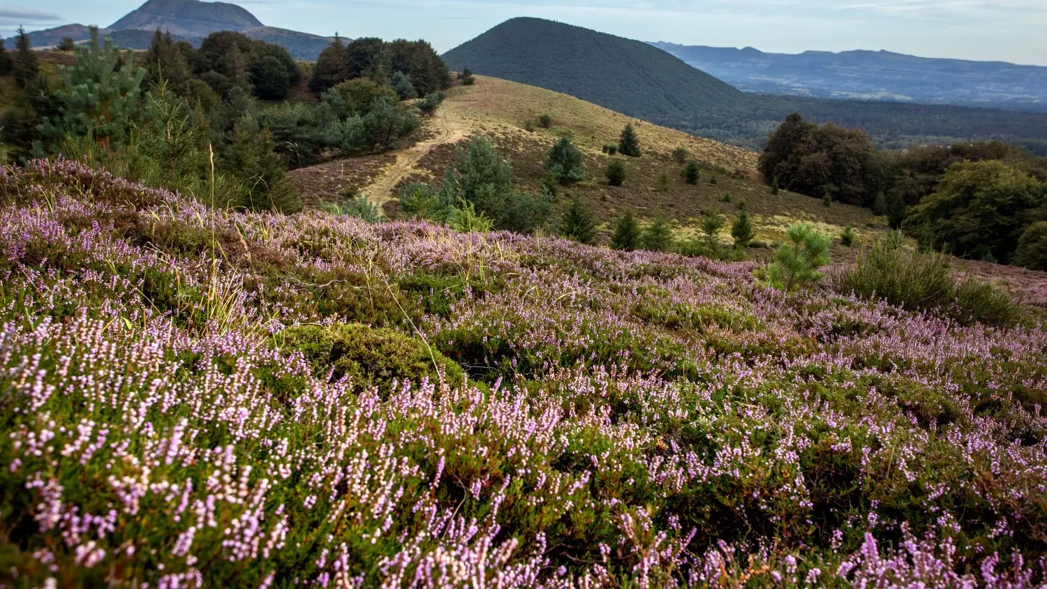
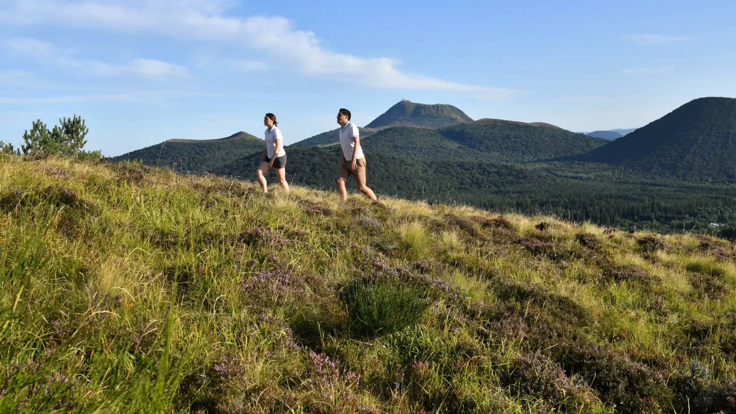
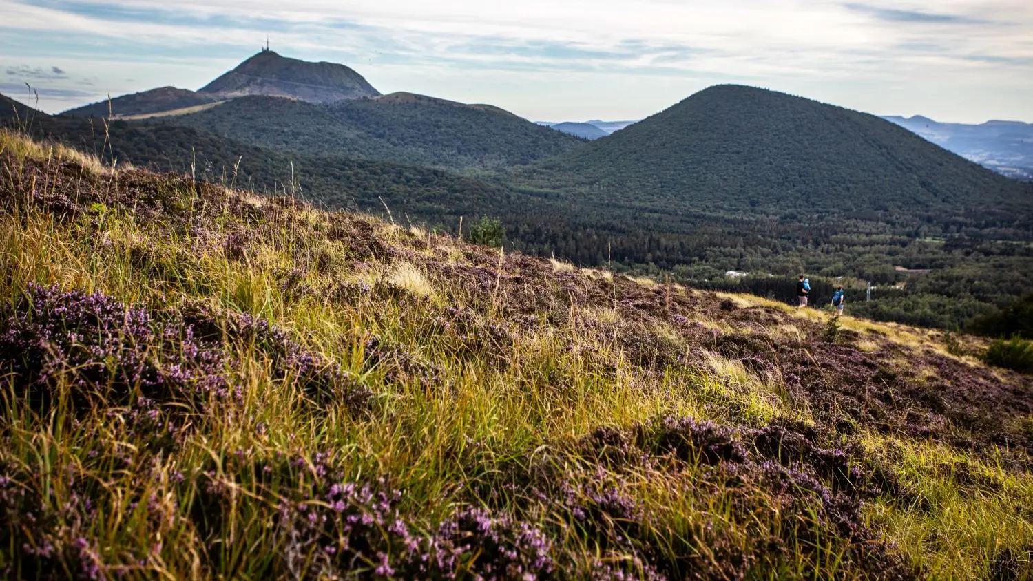
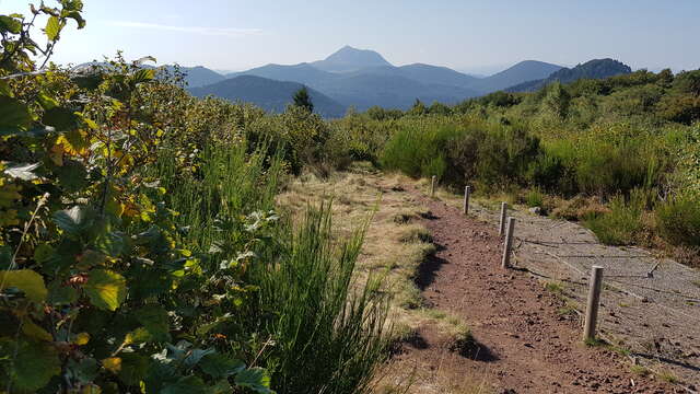
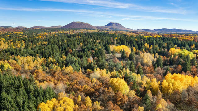
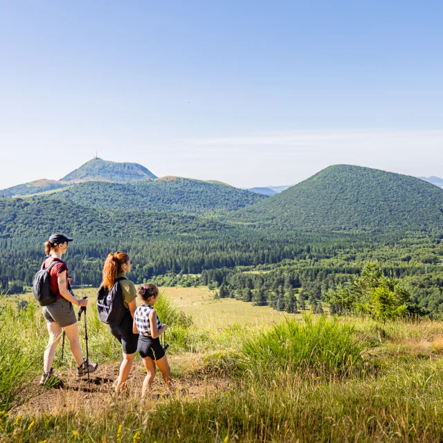
2/ Climb to the right along the path leading up to the puy de Jumes. At the lip of the crater, continue uphill to the left, then onto the flat (view of puy de Louchadière). At the intersection, turn right to reach the summit of puy de Jumes (5 min.) (view of the northern part of the Chaine des Puys and the Sancy massif). Turn left down the stairs. Climb puy de la Coquille (view of the Chaine des Puys). Continue along the crater rim until you reach the stairs. Turn right on the AR (5 min.) to the summit of puy de la Coquille (view of Puy de Dôme, Sancy and Livradois). Turn left down the stairs into the forest to a T-junction.
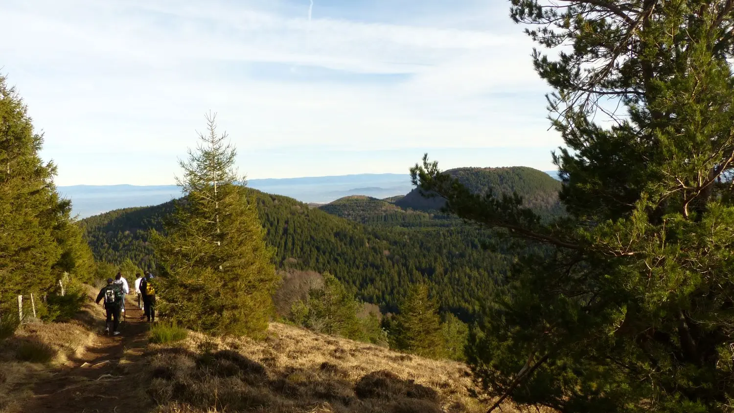
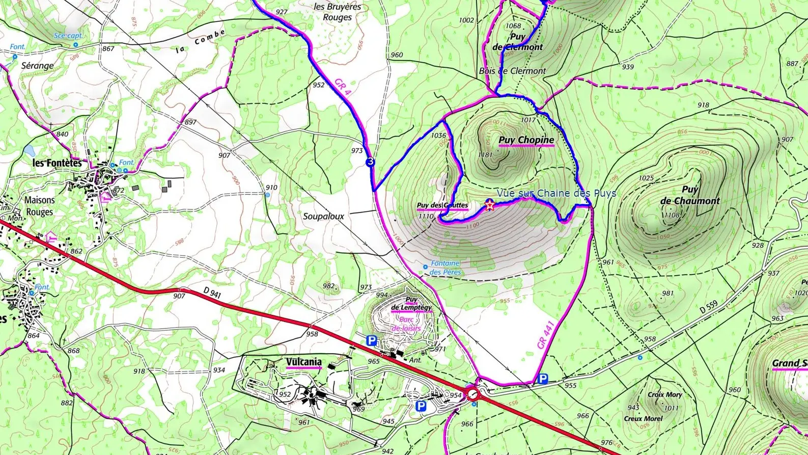
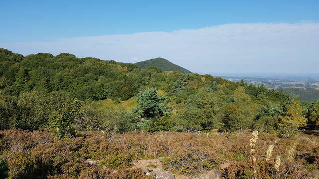
3/ Turn left for 30 m, climb Puy de Clermont and descend to a T-junction. Climb left for 30 m, then take the left-hand track. After a flat spot, descend 700m to the base of Puy Chopine, ignoring the side paths until you reach the Puy des Gouttes signpost. Cross the stepladder to the right and climb uphill into the beech forest. The path veers left, then climbs right to reach a fence. Follow the fence to the summit (view of the Chaine des Puys and the Sancy massif), then turn away and follow the lip of the volcano to a small wooden fence. Turn right and descend left into the crater. Pass a stepladder and join a cross-cutting path. Descend to the left for 500 m and take the first path to the right as far as a fork.
4/ Go left as far as a fork. Take the track on the right and follow it for 2 km, ignoring the side paths as far as Beauregard. Descend to the left. Pass the wash-house and turn right. Continue on a track. At the crossroads, turn right and take the first path on the right. At the road, turn left to reach the parking lot.