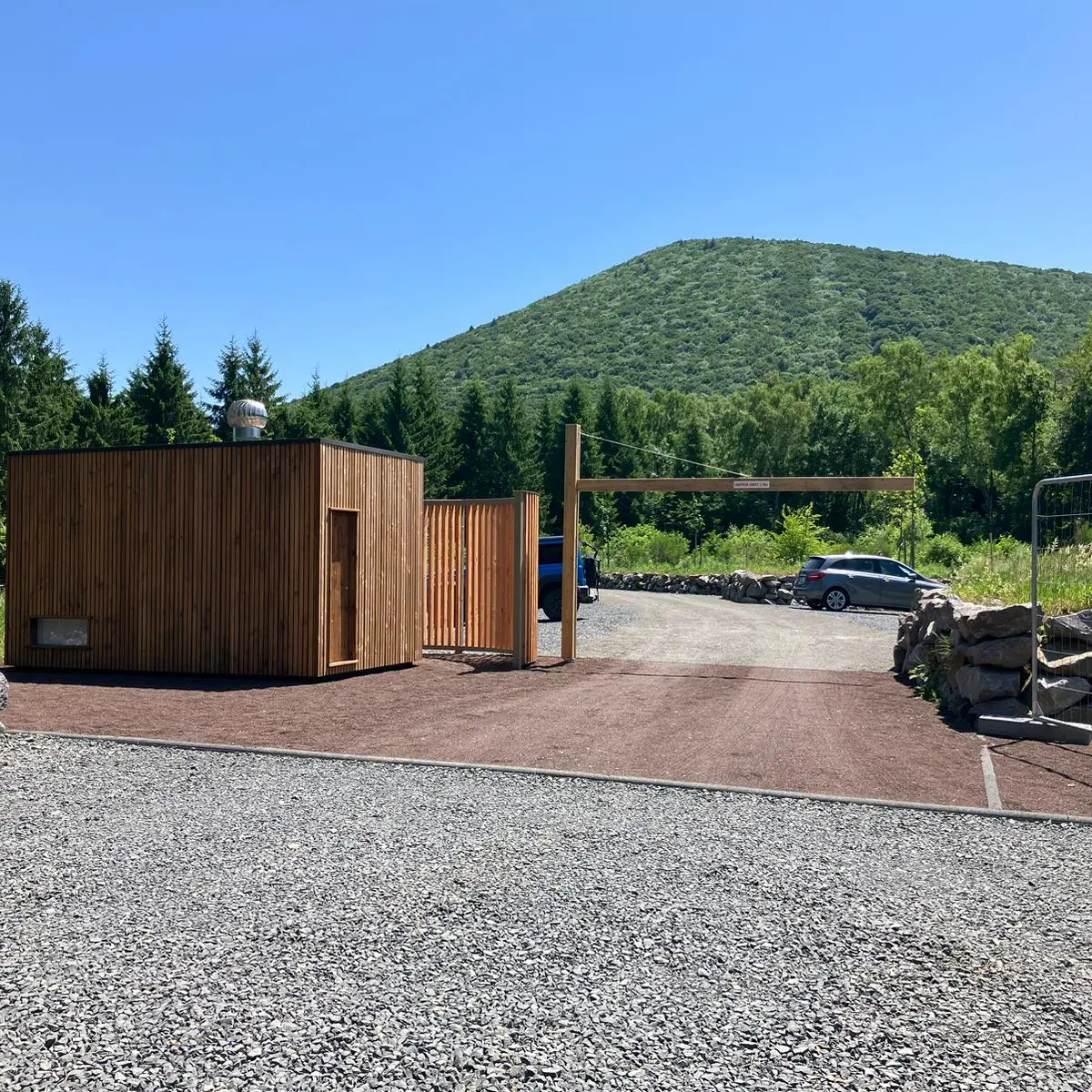
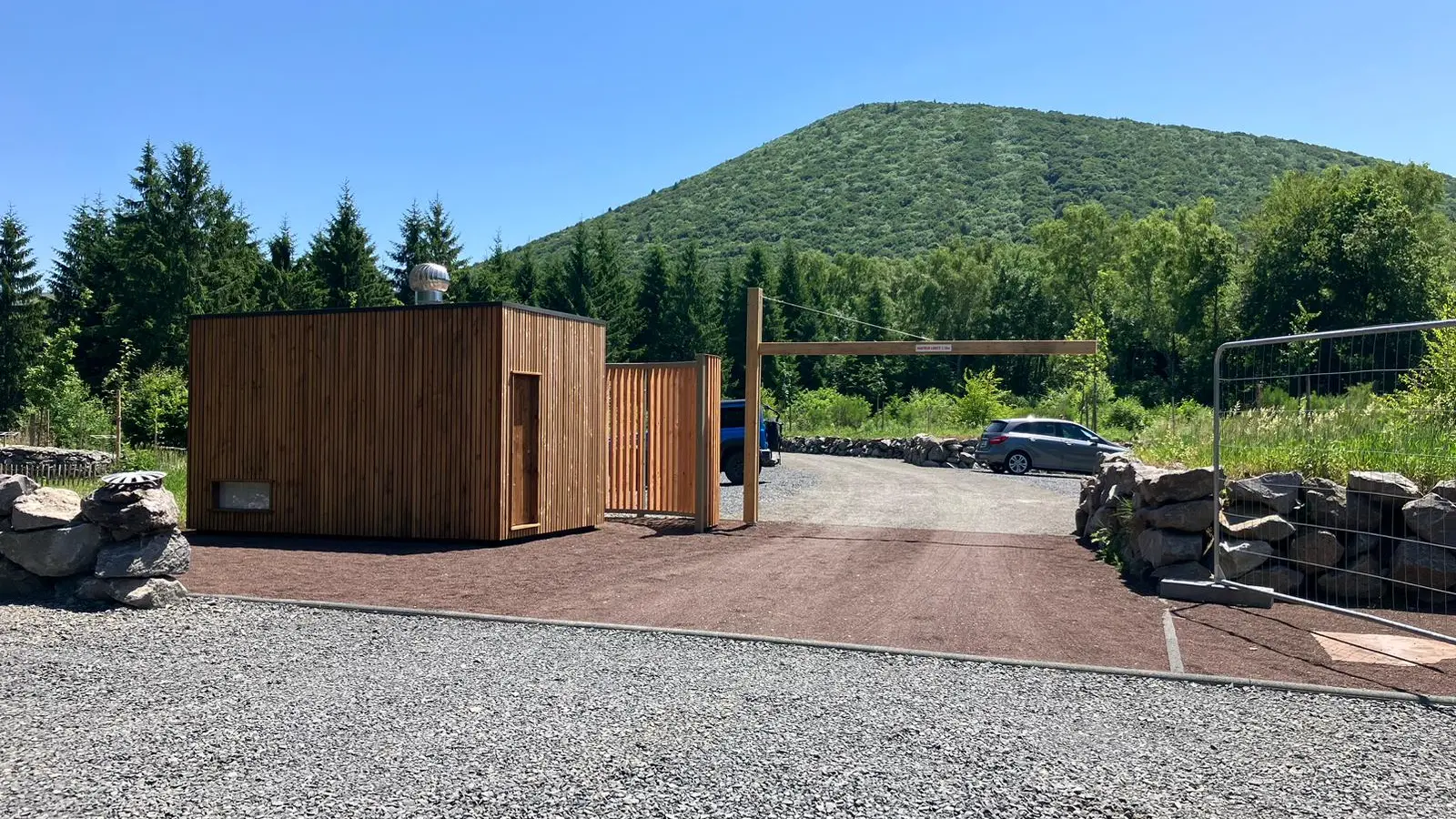
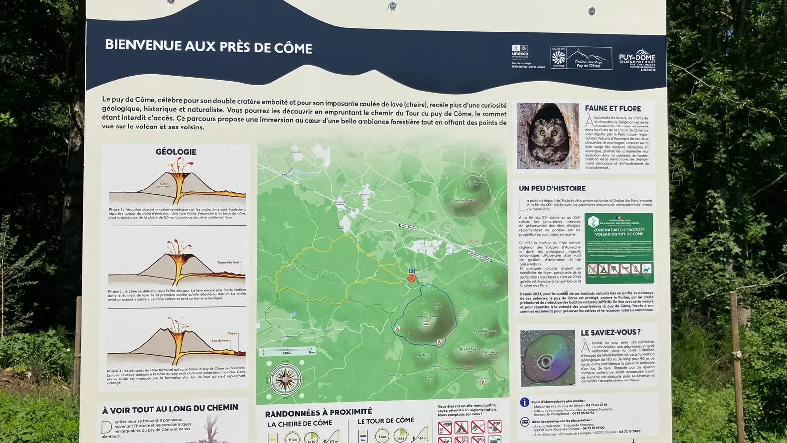
Guidebook with maps/step-by-step
1/ From the parking lot, return to the road. Cross the road and take the gravel path opposite to a bend where a footpath emerges.
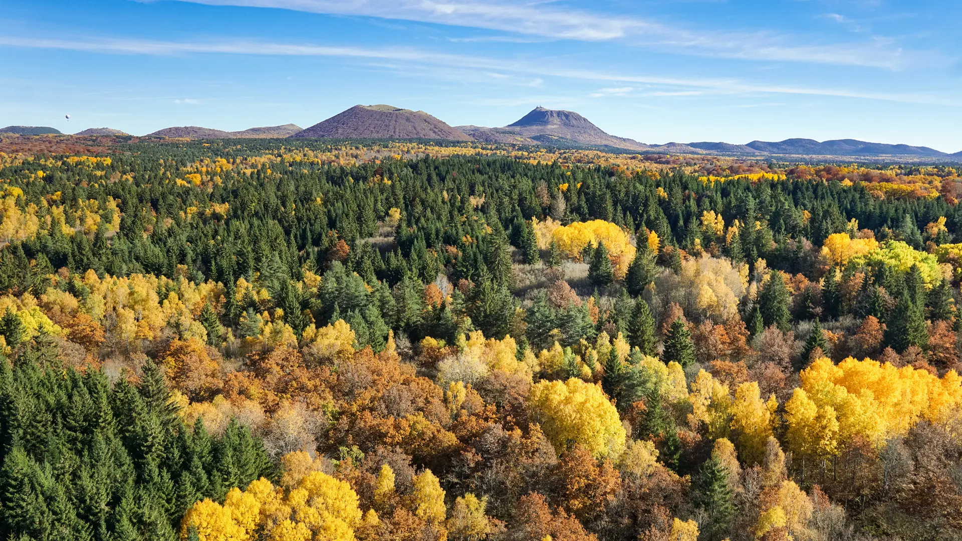
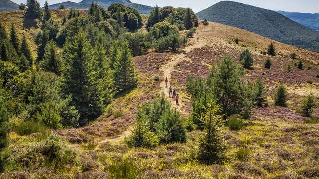
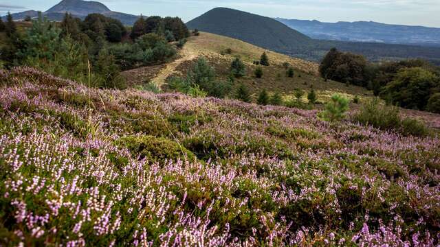
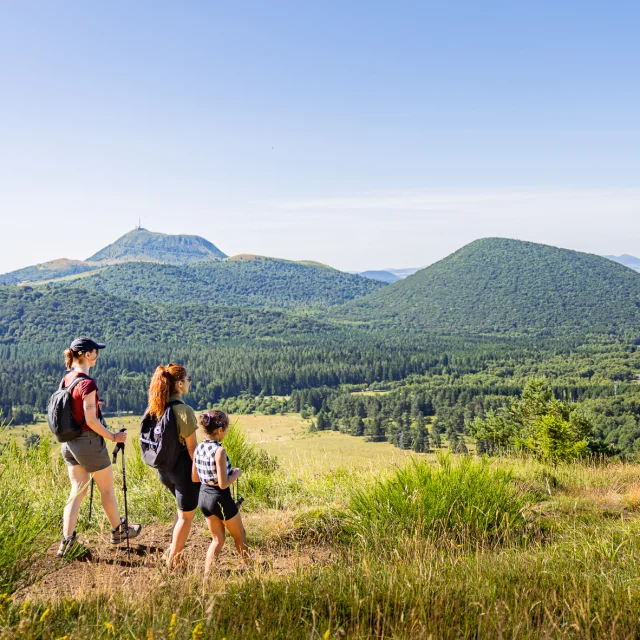
2/ Stay on the main path. After 100 m (view of Puy de Côme), turn right onto the path beneath the trees. After passing through the beech forest, the path gradually rises to a crossroads. Continue uphill to the right, then descend slightly to a flat area (views of Grand Suchet and Puy de Cliersou). At the T-junction, climb right to a clearing blocked by a fence.
3/ Continue uphill to the left, skirting the fence. After the high point (view of the puy de Côme double cone), descend, keeping the fence to your right. Ignore a path on the left. At the flat, the path curves to the left away from the fence. Leave an enclosed track on the right. Go down the path, which is hollow and steep at the start, until you reach a fork in the road.
4/ Take the right-hand path, then join a wide track which you take to the right for 200 m. Leave it for a right-hand path in the forest (not very visible in advance). This path, sometimes uphill or downhill, often flat, winds through the forest, passing several ruined charcoal kilns. After crossing a pine forest, come to a crossroads (point 1). Take the gravel path opposite, and cross the road to reach the parking lot.