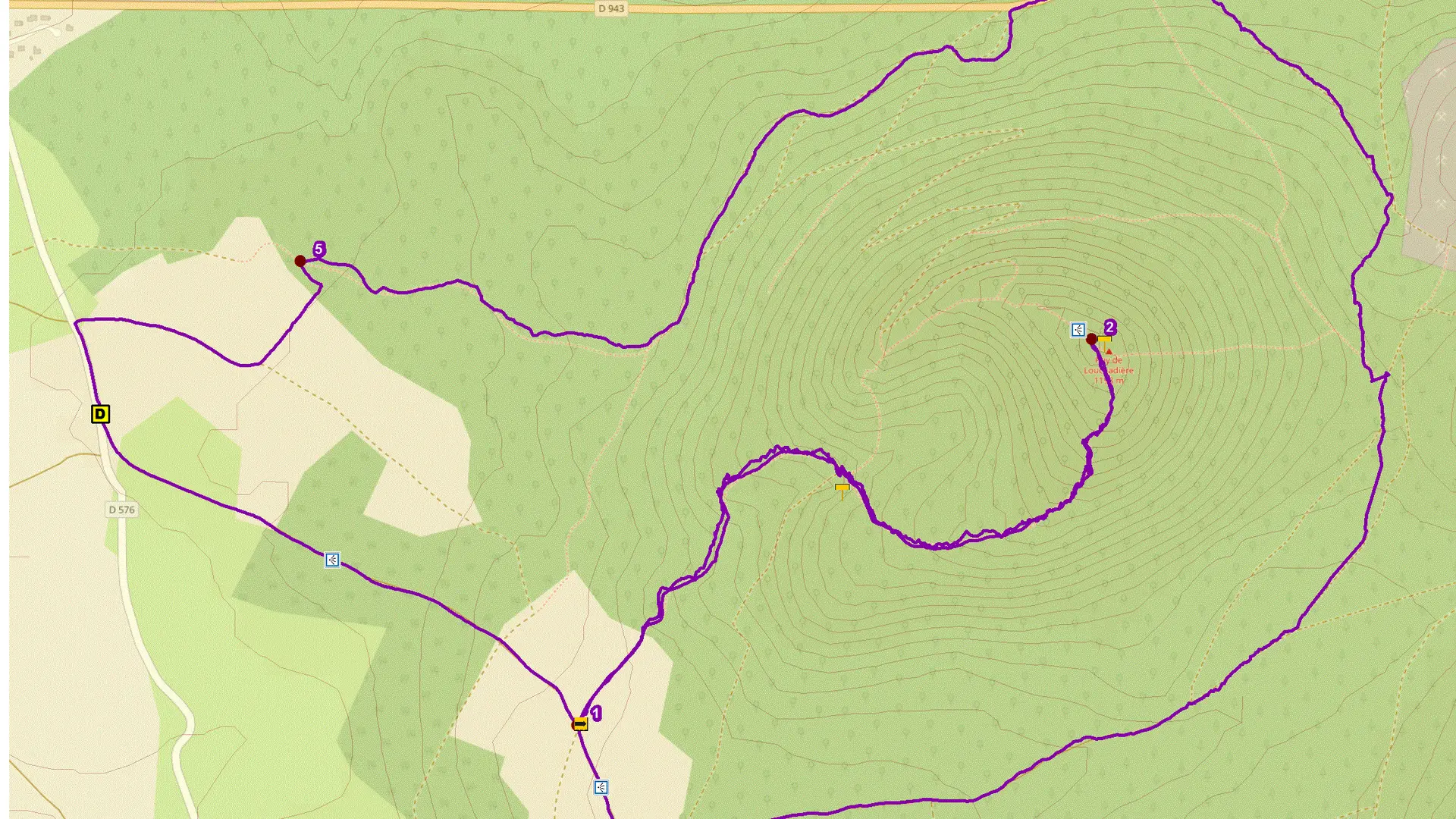
Guidebook with maps/step-by-step
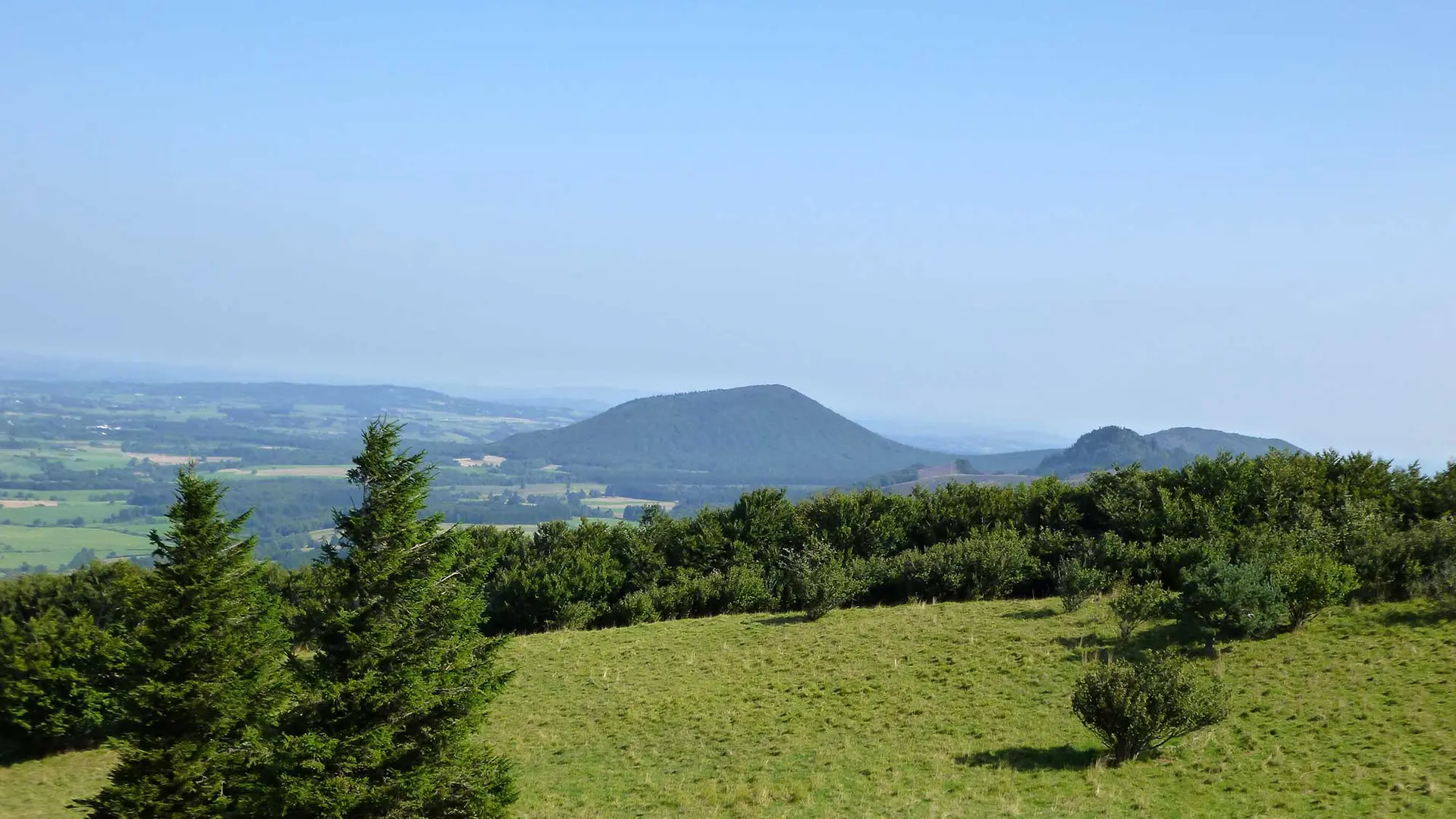
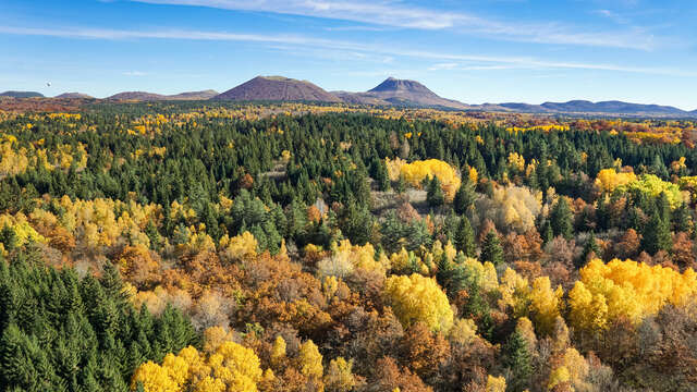
1/ Take the staircase next to the start sign and climb the path (at the top, view of the Louchadière, Chopine, Dôme and Côme puys) which, after 100 m, descends to a wide track. Follow this to the left and continue gently uphill for around 1 km. Reach a crossroads just before the end of the climb (on the left, departmental signs indicate that the round trip to the summit takes 1 hour).
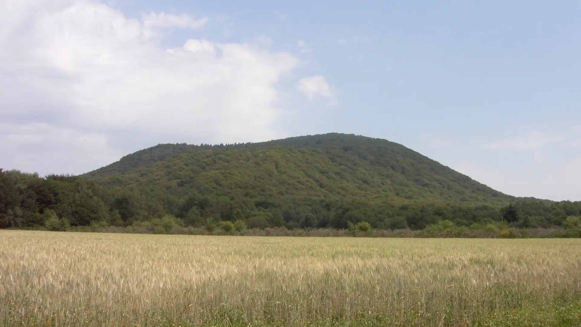
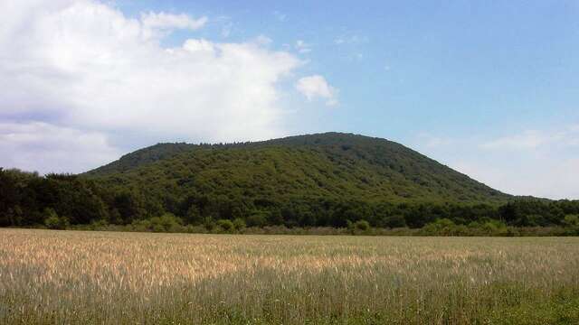
2/ Leave the track and turn left onto a grassy path which soon enters the beech forest. At the first intersection, turn left. Ignore the next two paths (one descending to the right, the other ascending to the left) and continue straight ahead through the beech forest, as far as the geodesic marker marking the summit (puy de Louchadière, alt. 1198 m). 20 m from this point, you'll have a view of the Puys, the Sancy massif and the Combrailles.
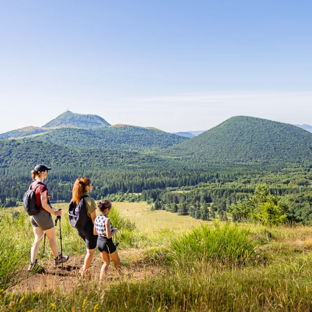
3/ Turn around and descend by the same route as the ascent. Back on the trail (PC 1), turn left (view of the Puys de Jume, Coquille, Chopine and Dôme) and continue for 300 m to a trail junction.
4/ Turn left ("Chuchoter", a land art sculpture) and walk out into the open, then into the forest. At the second fork in the path (where two yellow trails split), fork left into the coniferous forest. When you come to a wider path, follow it to the right for a hundred metres. Turn left into the beech forest, then immediately right. After approx. 100 m, leave the path and take a right down to a wide ashy track. Follow this to the left until you reach the main road.
5/ Drive along it on the left for 200 m (caution, dangerous traffic), turn left to reach the old quarry, cross it to reach a track. Turn left and stay on this main path alongside a reforestation plantation. Enter the forest. At the fork in the road, fork right and continue until you reach the forest exit.
6/ Turn left onto a grassy path which, after skirting the edge of the wood for 100 m, bends right and joins a farm track. Follow this to the right as far as the road (D576). Turn left to return to the starting point.