


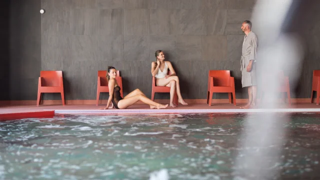
Just 20 minutes from Clermont-Ferrand, in Châtel-Guyon, this spa centre, the only one of its kind in Europe, offers a warm and friendly welcome for a spa treatment or wellness break in a privileged environment.
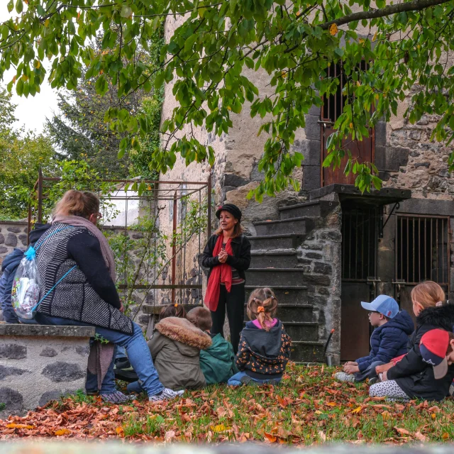
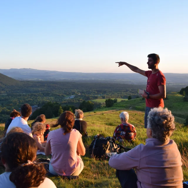
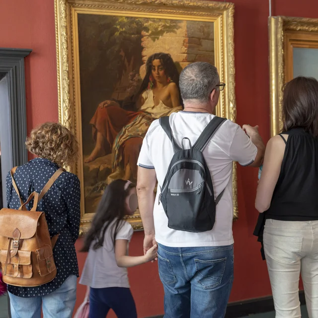
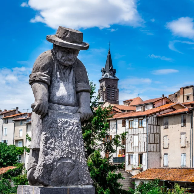
The human element is the keystone of these “Portraits” and will inspire people to visit the region’s artisans of taste and artistic creators.