Guidebook with maps/step-by-step
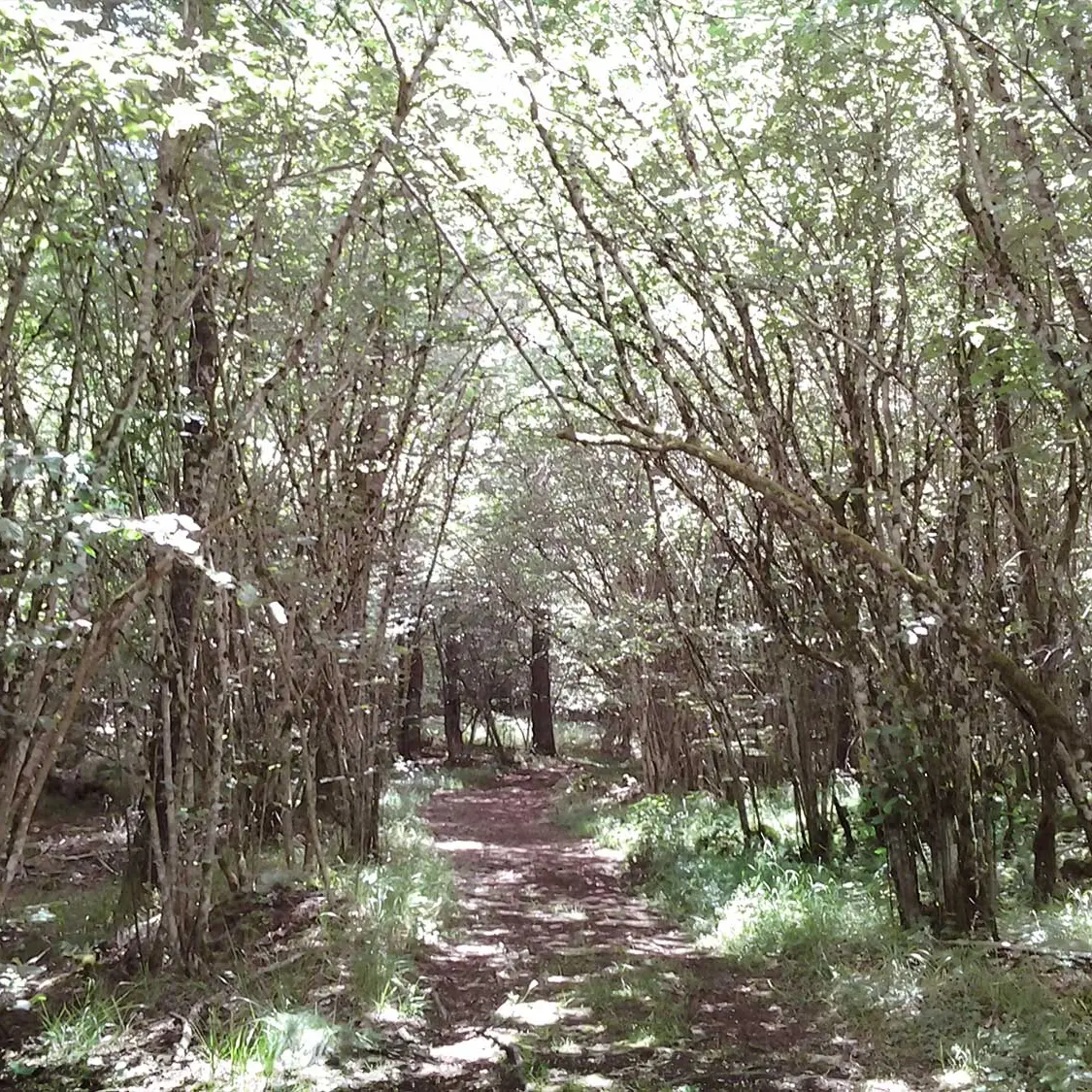
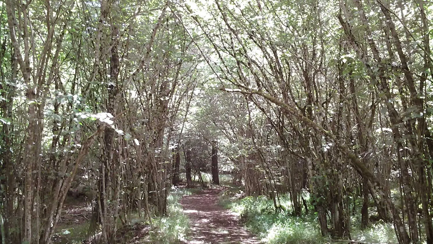
1/ After leaving the parking lot, turn left along the wide track for 600 m to a crossroads. Turn left and continue to a crossroads.
2/ Turn right and continue straight ahead under the power line to another crossroads.
3/ Go up to the left for 20 m, then take the path to the right and at the T-junction, turn left at the hamlet of Les Roches. At the first fork in the road, turn left onto a grassy path. After "la roulotte des bergers", continue straight ahead to the next T-junction.
4/ Turn left and stay on this path until you reach a wide track.
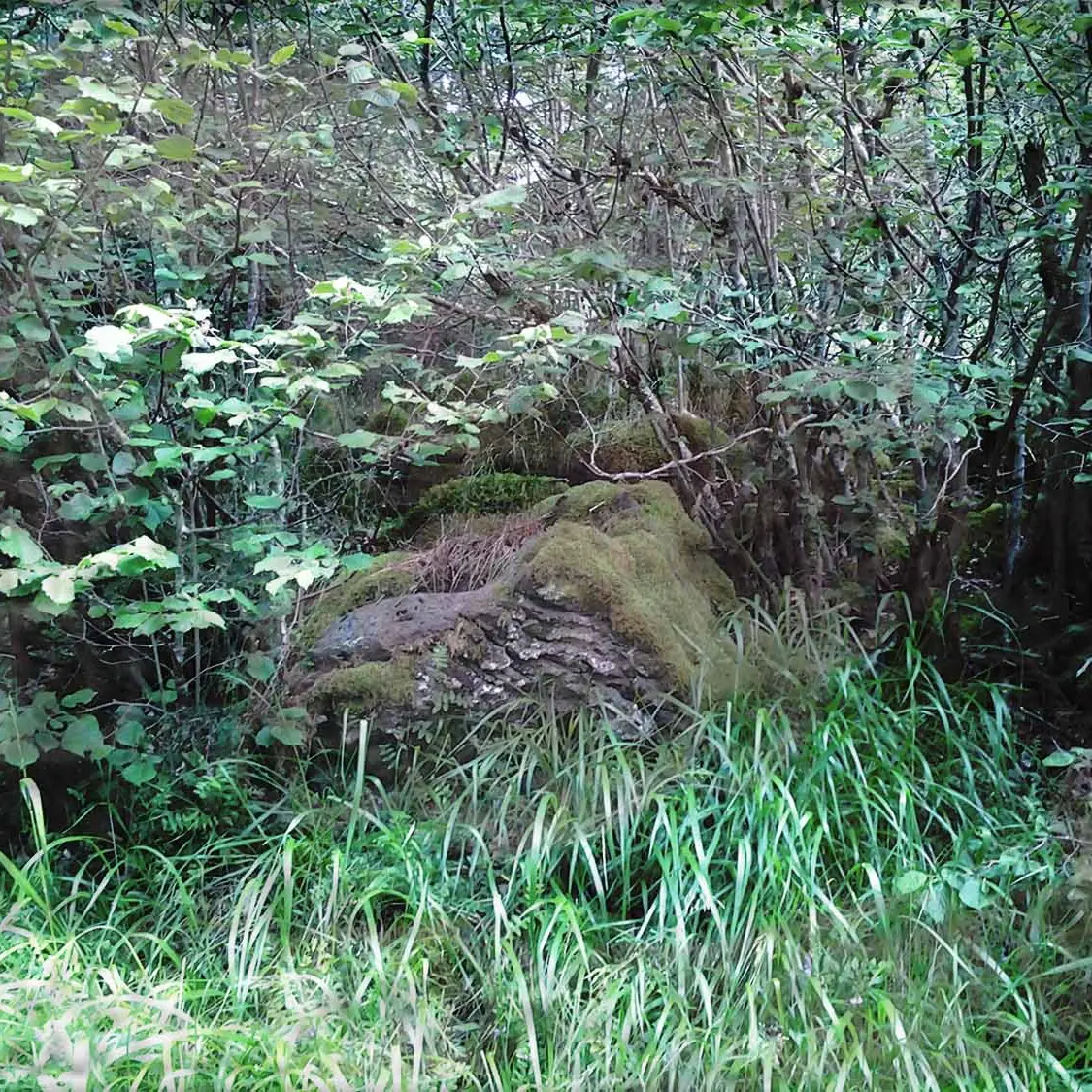
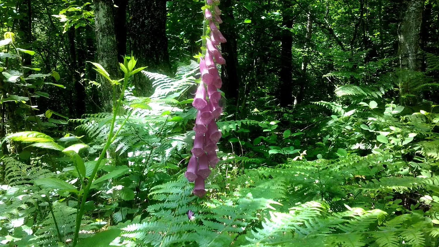
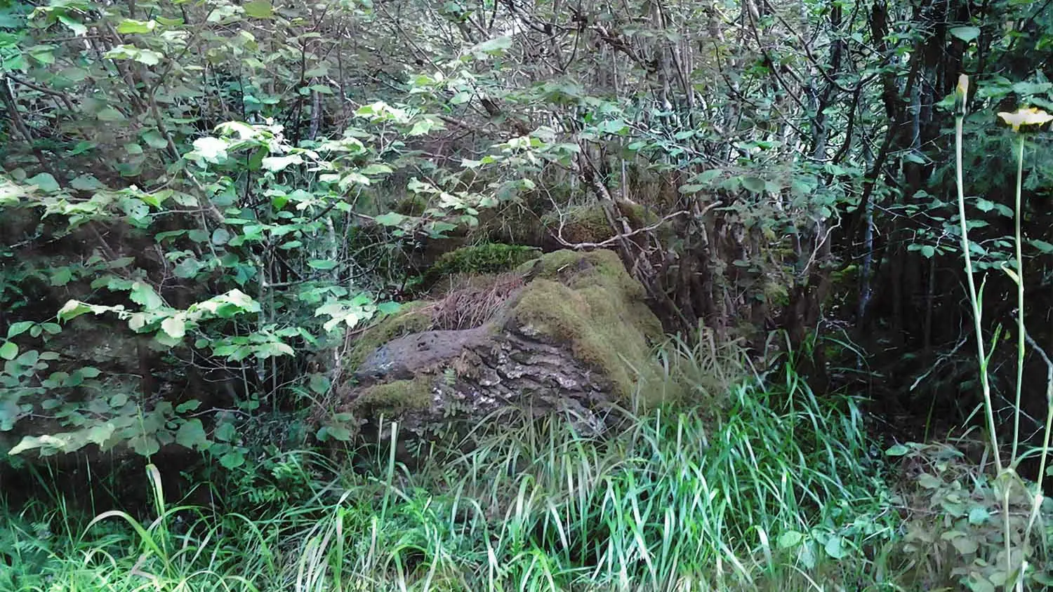
5/ Turn right for 40 m (just after point 3, on the slightly higher right, you'll see a pretty, well-preserved stone shepherd's hut), then leave it to take a path on the left (further on, you'll see a carved stone called the "pierre signée"). At the fork in the road, at a signpost, keep left until you reach a fork in the road.
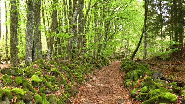
6/ Go left downhill past an old quarry and follow the path through the beech trees to a perpendicular path. Descend to the left and continue to a crossroads.
7/ Turn left onto this wide track, which you follow for 300m. Turn right. Opposite the gate of a water catchment protection area, turn right for 100 m (opposite the enclosure gate).
8/ Fork right onto an inconspicuous path. Keep to the left. Before reaching the wide track, turn right, then fork left. Join a track, take it to the left and go as far as a crossroads (point 1). Follow the same route as before: turn right, then right again at the next junction to return to the starting point.